The Acadiana Planning Commission Makes an Impact in Our Communities
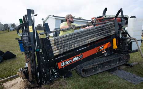
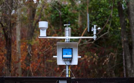
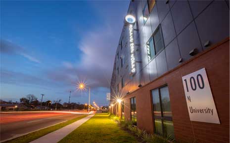
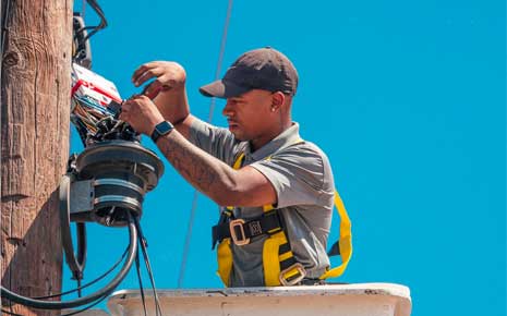
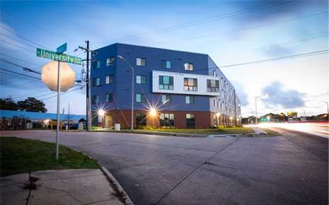
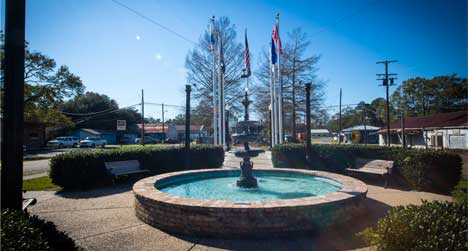
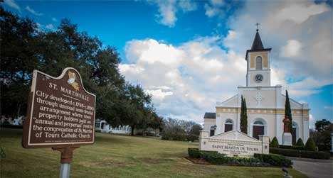
Acadiana Gauge Network
Acadiana Gauge Network Photo

101 Jefferson St.
Suite 201
Lafayette, LA 70501-7007
US
Visit the Website

Category:  Featured Projects


Acadiana Regional Gauge Network: Data-Based Decisions

The Acadiana Planning Commission has partnered with the University of Louisiana’s Louisiana Watershed Flood Center and the Teche-Vermilion Fresh Water District to implement the Acadiana Regional Gauge Network. Our aim is to enrich water management decisions in Acadiana through gauge instrumentation and data collection. By improving water monitoring in the area, Acadiana residents and emergency personnel can actively engage in pre-disaster planning.

The objective is to design and deploy a regional gauge network for the eight parish service-area (Evangeline, St. Landry, Acadia, Lafayette, St. Martin, Vermilion, Iberia, and St. Mary) that will monitor flooding and rainfall. Developing a web-based public visualization interface for communicating real-time alerts is a priority. The Acadiana Regional Gauge Network will complement the Statewide LWI’s River & Rain Gauge Network, which is focused exclusively on developing a data-driven hydrological model. This project is funded by the US Federal Emergency Management Agency (FEMA) and the Louisiana Governor’s Office of Homeland Security and Emergency Preparedness (GOHSEP).

Community Feedback

Local feedback on the proposed gauge sites and other water issues is critical for developing the final network design. Essential factors for consideration in the final number of gauges deployed include long-term sustainability, differing cost of gauge types, required servitude agreements, etc. A maximum of 230 gauges will be analyzed — among those sites that pass environmental clearance — to develop a final design. We appreciate your input! Follow this link to rate and comment on the proposed gauge locations.

Partnering Agencies:

The Acadiana Planning Commission serves the public sector in the planning and implementation of economic, community, and transportation development throughout the region known as Acadiana, including the Louisiana Parishes of Acadia, Evangeline, Iberia, Lafayette, St. Landry, St. Martin, and Vermilion.

The Teche-Vermilion Fresh Water District supplies fresh water from the Atchafalaya River to Bayou Teche, the Vermilion River, and connects streams using a pumping station, control structures, and channels designed to divert, regulate and carry the flows.

The Louisiana Watershed Flood Center at the University of Louisiana at Lafayette is leading the effort to establish a Lafayette-based center for flood research and education. The Flood Center will provide research and development capabilities in different areas related to floods, focusing on integrated watershed solutions.


Click to Activate