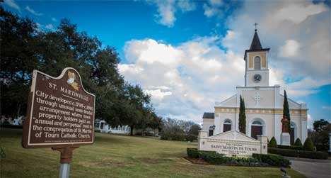
About Acadiana Watershed District (AWD)
APC is working to improve watershed management practices by serving as the organizing body for watershed activities for the Louisiana Watershed Initiative (LWI) Region 5. The Region encompasses 16 parishes and five Hydrologic Unit Code (HUC) 8 watersheds: Atchafalaya, Teche, Vermilion, Mermentau, and Mermentau Headwaters.
Acadiana Watershed District's (AWD) overall goals are to improve water management to address flood risk and mitigation proactively and effectively within the boundaries of the district; promote and support a unified effort to address drainage and flood issues in the region in cooperation with local, state and federal agencies; and cooperate with local and state entities engaged in establishing best practice development standards for flood-risk reduction.
The Acadiana Watershed District began as the Louisiana Watershed Initiative (LWI) Region 5. The LWI program is funded by the Louisiana Office of Community Development with a $1.2 billion flood mitigation grant to pursue a holistic approach for watershed management that goes beyond conventional mitigation measures and incorporates nature-based solutions. LWI has funded investments in green and gray infrastructure, flood mitigation projects, a water monitoring network, and hydrologic & hydraulic (H & H) watershed models which cover the entire state. Investments in scientific tools like the H & H models and the monitoring network will deepen the decision-makers understanding of Louisiana's flood risk and improve the project prioritization process among shared waterways.
APC serves as the fiscal agent for both LWI Region 5 and the AWD.
AWD VISION STATEMENT
To proactively address water quantity and quality for flood risk and mitigation, and ecosystem health through regional watershed management and coordination.
AWD MISSION STATEMENT
To promote flood risk reduction and water quality improvement through regional coordination, using science-based data by cooperating with agencies engaged in the planning and construction of projects and establishing best practice development standards in the region.
About LWI Region 5
Community Involvement
One of the core functions of the Acadiana Watershed District Initiative is to proactively engage and collaborate with local residents, officials, and technical experts, relying on their input to guide program efforts.
To learn about upcoming meetings or events on the calendar.
USACE Analysis Report
The United States Army Corps of Engineers has the Silver Jackets program and Flood Plain Management Services (FPMS) is part of this program. A portion of the FPMS is reserved for interagency non-structural work for flood risk management benefits. This study identified structures that intersect flood vulnerability and social vulnerability for 12 of our 16 parishes.
The following LWI Region 5 parishes were not able to be included in this report – Iberville, Pointe Coupee, Calcasieu and Cameron. Please note the following as stated to me by the USACE:
- Iberville and Pointe Coupee Parishes
- There was a slight discrepancy between the Region 5 boundary and the Hydrologic & Hydraulic (H&H) dataset boundary. This is due to USACE H&H datasets being divided along differing watershed boundaries. The USACE decision to proceed was based on most of the urban areas and the Environmental Justice Communities being located within the study area and so it was determined that the majority of the population would still benefit from this analysis.
- There was a slight discrepancy between the Region 5 boundary and the Hydrologic & Hydraulic (H&H) dataset boundary. This is due to USACE H&H datasets being divided along differing watershed boundaries. The USACE decision to proceed was based on most of the urban areas and the Environmental Justice Communities being located within the study area and so it was determined that the majority of the population would still benefit from this analysis.
- Calcasieu and Cameron Parishes
- These parishes do not have any census tracts identified as experiencing social vulnerability in the portions that intersect with the study area.
- These parishes do not have any census tracts identified as experiencing social vulnerability in the portions that intersect with the study area.
All the work was done by the USACE and their staff. The estimated in-kind services provided by this study is $100,000.00. The anticipated use of the document is to bolster future grant applications as a region or for the individual parishes in our region as well as add this information to the regional watershed plan due in December 2025.
To read the US. Army Corps Silver Jacket Study click here.